Whangarei’s terrain is a study in contrasts—gentle harbour inlets suddenly give way to steep volcanic remnants like Parihaka, where weathered basalt and clay-rich colluvium create a patchwork of stability conditions that demand careful reading. With mean annual rainfall exceeding 1,300 mm and occasional subtropical downpours, pore-water pressures can shift rapidly, triggering shallow sloughing in cuts and deep-seated creep on older slip surfaces. Our slope stability analysis integrates site-specific rainfall data with subsurface profiles across the city’s distinct landforms, from the Maunu alluvial fans to the limestone ridges near Abbey Caves, so that the design accounts for the real failure mechanisms we observe in Northland. In areas where the residual soil mantle sits directly on fractured greywacke, we often combine limit-equilibrium modelling with in-situ permeability testing to quantify how quickly water moves through the weathered zone, because drainage is almost always the decisive factor in long-term slope performance.
In Northland’s volcanic terrain, the most dangerous slip surface is often the one you cannot see until the water table rises.
Methodology and scope
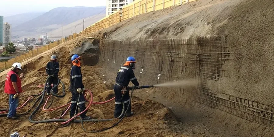
What we keep seeing across Whangarei subdivisions is that the interface between residual soil and weathered rock acts as a preferred slip plane, particularly where road cuts expose it to wetting-drying cycles over successive seasons. The Kamo and Tikipunga areas, with their deep volcanic ash soils, can retain strength remarkably well until a sustained rain event saturates the upper two metres and triggers translational slides that catch landowners off guard. This is why our analysis does not stop at a single cross-section—we model back-analyses of existing failures in the same geological unit to calibrate strength parameters, then carry those calibrated values into the proposed design. When the project calls for reinforcement, the stability model feeds directly into the retaining walls design so that the wall’s embedment and drainage provisions are sized for the actual thrust rather than a generic design chart. For larger residential earthworks, we also run pseudostatic analyses under the seismic coefficients prescribed in NZS 4203, because even in Northland’s moderate seismicity setting, a 1-in-500-year event can impose enough horizontal acceleration to remobilise old landslide debris.
Local geotechnical context
Whangarei has grown outward from its harbour basin into hillside catchments where the subdivision pattern predates modern geotechnical regulation, leaving a legacy of older cuts and fills that were placed without engineered compaction or benching. Many of these earthworks are now reaching an age—forty or fifty years—where vegetation cover masks gradual creep, and the first sign of trouble is a tension crack behind the crest or a tilted fence line partway down the slope. The risk compounds when a new build is proposed directly below an unengineered fill batter, because the site’s stability becomes hostage to someone else’s construction decisions from decades ago. Our analysis addresses this by mapping the entire contributing catchment, not just the building platform, and by explicitly modelling the inherited fill as a material with unknown compaction and potentially high sensitivity to moisture. Where the chalky limestone of the Whangarei Limestone Formation outcrops, we also assess sinkhole and cavity collapse risk, because dissolution features can undermine a slope from within, creating a failure mode that conventional surface inspection will never flag.
Questions and answers
How much does a slope stability analysis for a single residential site in Whangarei typically cost?
For a straightforward slope stability assessment on a typical Whangarei residential lot—including site walkover, review of existing geotechnical data, a limit-equilibrium model with two or three critical cross-sections, and a letter-report—fees generally range from NZ$2,360 to NZ$4,100. More complex sites involving deep-seated landslides, instrumentation, or iterative remediation design can extend to NZ$5,800–NZ$7,650 depending on the number of analyses and the reporting requirements from Whangarei District Council.
Does Whangarei District Council require a slope stability report for building consent on a sloping site?
Council’s earthworks and geotechnical engineering team will typically request a slope stability assessment when the building platform is within the zone of influence of a slope steeper than about 15 degrees, or when the site is mapped on the council’s hazard overlays for landslide susceptibility. The report must demonstrate a minimum static factor of safety of 1.5 and address seismic stability for Importance Level 2 structures. We present the analysis using the NZGS risk assessment matrix so that the council reviewer can see immediately how the residual risk is classified.
What soil parameters do you use for the volcanic ash soils common around Kamo and Tikipunga?
We base our strength parameters on a combination of site-specific laboratory testing—direct shear or multistage triaxial on undisturbed samples—and back-analysis of any existing cut slopes or shallow failures in the same geological unit. For the weathered basaltic ash, effective cohesion is often low once the soil structure is disturbed, and the friction angle typically falls between 26 and 32 degrees depending on the clay fraction. Critically, we model the undrained behaviour for rapid drawdown or intense rainfall scenarios using undrained shear strength ratios calibrated against liquidity index, because this governs the short-term stability of steep cuts during Northland’s heavy rain events.