← Home · Underground Excavations

Geotechnical Excavation Monitoring in Whangarei

Together, we solve the challenges of tomorrow.

LEARN MORE →

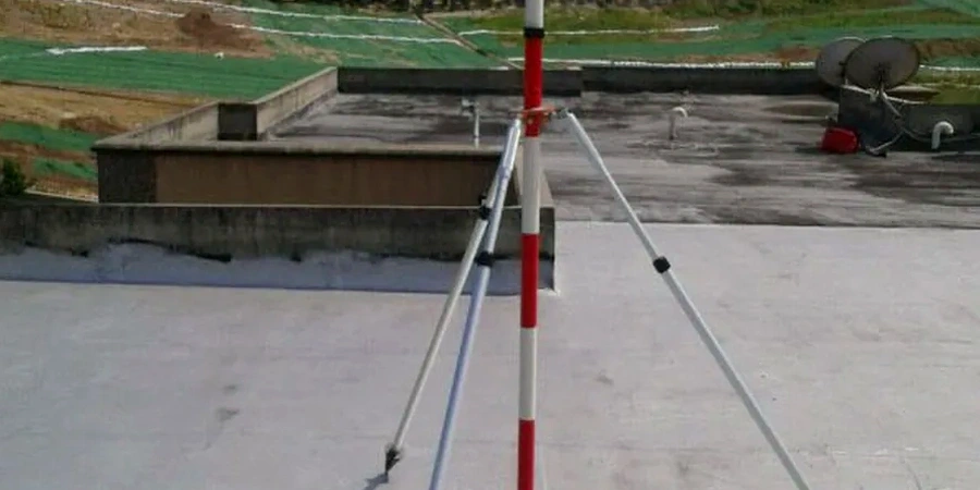
Whangarei ground conditions shift fast once you open a cut. The volcanic basalt layers overlying softer alluvial sands near the Hatea River create real stability challenges. We see it on nearly every deep dig north of the CBD. Our team runs geotechnical excavation monitoring here with a simple focus: catch movement before it becomes a failure. We deploy inclinometers, survey prisms and vibrating wire piezometers. Data feeds are live. No waiting for end-of-day reports. For deeper cuts where retaining is already in place, combining monitoring with retaining walls design checks gives the contractor peace of mind. We also tie readings to slope stability models when cuts exceed 4 m in weathered rock.

Real-time displacement data lets the site team act before cracks appear in neighbouring structures.

Methodology and scope

Whangarei sits in a moderate seismic zone. NZS 1170.5 puts the peak ground acceleration at roughly 0.21g for a 500-year return period. That means even a shallow excavation can shift if the ground is saturated. Our monitoring approach is built around this reality. We set up automated total stations on site. Crack gauges go onto adjacent buildings. Inclinometer casings are installed early, often before the dig reaches 2 m. We track lateral displacement against the NZGS guideline thresholds. Alerts trigger at 75 percent of the design limit. Response is immediate. A CPT test run before excavation lets us calibrate the soil profile and set realistic movement envelopes for the soft soils common around the Whangarei basin.
Geotechnical Excavation Monitoring in Whangarei
Technical reference image — Whangarei

Local geotechnical context

The common mistake we see in Whangarei is assuming basalt is stable and skipping monitoring until the dig is deep. Basalt here is fractured. Water moves through the joints. The moment you cut into the underlying alluvium, the face can unravel. Another error is placing inclinometers too shallow. If the casing does not extend well below the potential slip surface, the readings are useless. We require a minimum embedment of 3 m into competent ground. Delayed interpretation of data is the third mistake. Movement accelerates quickly after heavy rain, and Whangarei gets over 1500 mm of rainfall annually. Without same-day analysis, the window to react closes fast.

Need a geotechnical assessment?

Reply within 24h.

Email: [email protected]

Typical values

ParameterTypical value
Inclinometer accuracy±0.25 mm/m
Tiltmeter range±15°
Automated reading interval15 to 60 min adjustable
Piezometer typeVibrating wire, 0-350 kPa range
Crack gauge resolution0.0125 mm
Alert threshold75% of design movement
Reporting frequencyDaily with instant trigger alerts

Other technical services

01

Inclinometer and tiltmeter arrays

Vertical and horizontal displacement tracking along the excavation perimeter with automated data logging every 30 minutes.

02

Survey prism networks

Robotic total station monitoring of retaining walls, shoring struts and adjacent building corners with mm-level precision.

03

Vibrating wire piezometer monitoring

Pore pressure tracking behind the cut face to anticipate softening and loss of passive resistance in clayey alluvium.

04

Crack gauge and building condition surveys

Pre-construction condition reports and continuous crack width monitoring on neighbouring properties within the zone of influence.

Regulatory framework

NZS 3910:2023 (Conditions of contract for building and civil engineering), NZS 4404:2010 (Land development and subdivision infrastructure), NZGS Guideline for Earthquake Geotechnical Engineering, NZS 1170.5:2004 (Structural design actions — Earthquake actions)

Questions and answers

What is the cost of excavation monitoring in Whangarei?

Monitoring programmes range from NZ$1.220 for a short-term shallow cut with basic prism targets to NZ$4.280 for a deep excavation requiring automated inclinometers, piezometers and daily reporting over several weeks.

How often are readings taken during monitoring?

Automated systems record every 15 to 60 minutes depending on the risk level. Manual survey checks are done daily during active excavation and weekly once the dig stabilises.

How close to neighbouring buildings can you monitor?

We install crack gauges and prisms directly on structures adjacent to the cut. The zone of influence is typically 1.5 times the excavation depth, and we monitor everything within that radius.

What happens if movement exceeds the alert threshold?

An immediate notification goes to the site manager and engineer. We recommend pausing excavation, inspecting the face and reviewing the support design before resuming work.

Do you provide monitoring for small residential excavations?

Yes. We handle everything from single-lot basement cuts in the Whangarei hills to commercial digs in the city centre. The instrumentation is scaled to the project size and risk.

Location and service area

We serve projects in Whangarei and surrounding areas.

View larger map