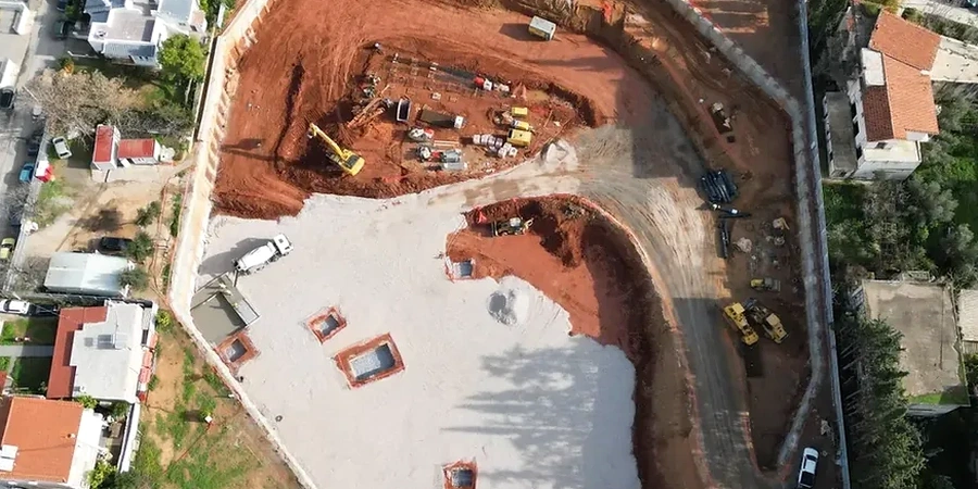
A deep excavation in the Raumanga basin behaves nothing like one cut into the weathered greywacke and basalt ridges overlooking Whangarei Harbour. The alluvial silts and interbedded peat lenses common near the CBD compress rapidly under unloading, while the residual volcanic soils mantling higher ground can stand near-vertical in the short term but are riddled with relict joints that open unpredictably once a cut exceeds six metres. This juxtaposition of ground conditions within a few kilometres demands a geotechnical design approach that treats stratigraphic variability as the starting assumption, not an afterthought. Where the water table sits barely two metres below street level, as it does across much of the central basin, the interaction between excavation support and groundwater control defines whether a project proceeds safely or stalls under emergency conditions. The design process integrates in-situ testing data with numerical modelling to predict wall deflection, basal heave, and the settlement trough that inevitably develops behind a retained cut. When working within Whangarei's mixed glacial and volcanic depositional environment, interpreting a CPT test alongside detailed borehole logs provides the continuous stratigraphic profile needed to calibrate a meaningful ground model for shoring design.
Whangarei's residual volcanic soils can stand near-vertical in the short term, but relict jointing and a high winter water table make staged support sequencing non-negotiable.
Local geotechnical context
A 14-metre excavation on Bank Street, squeezed between a heritage masonry building and a live stormwater trunk main, revealed what happens when groundwater assumptions fail. The designer had relied on a constant-head permeability value from a single borehole test, but the site straddled a buried stream channel filled with coarse, openwork gravel lenses. Within hours of pumping from the sump, fines migration from beneath the adjacent footpath triggered a settlement of nearly 40 millimetres, cracking the pavement and prompting a worksite shutdown. The root cause was not an error in the structural member sizing—it was the absence of a hydrogeological model that could have predicted the preferential flow paths through the gravel. Deep excavation design in Whangarei must address not only the structural capacity of props and walers but also the three-dimensional groundwater regime, the sensitivity of adjacent buried utilities, and the potential for piping at the toe of a cut where a thin clay aquitard separates two water-bearing layers. Overlooking any one of these factors turns a controlled engineering operation into a reactive exercise in damage mitigation.
Questions and answers
What consent requirements apply to a deep excavation in Whangarei's CBD?
Any excavation deeper than 1.5 metres that could affect adjacent property falls under the Building Act 2004 and typically requires a specific design as part of the building consent application. Whangarei District Council also requires a Construction Management Plan addressing vibration, dust, and traffic where the excavation is on a designated arterial road. If the cut retains more than 1.5 metres of unbalanced fill, it is classified as a retaining structure and must be designed for a 50-year design life in accordance with the NZ Building Code Clause B1.
How does the highly variable volcanic geology affect shoring design in Whangarei?
The residual soils derived from basalt weathering exhibit high intact strength but contain relict joint surfaces that can form preferential failure planes when exposed in a cut. Design must account for the possibility of block release along these discontinuities, which is not captured by a continuum finite element analysis alone. We routinely supplement numerical modelling with kinematic stability assessment using stereographic projection to identify wedge and planar failure modes that could bypass the designed support grid.
What is the typical budget range for geotechnical design of a deep excavation project?
The professional fee for geotechnical design of a deep excavation in Whangarei typically falls between NZ$3,160 and NZ$12,930, depending on the excavation depth, the complexity of the ground profile, the number of adjacent structures requiring settlement assessment, and the level of peer review required by the consenting authority. This covers the ground model interpretation, shoring design, dewatering specification, and production of Producer Statement PS1 documentation.